|
Tract 3-A, Eagle Heights 69.7 acres |
|
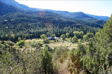
Both photos were taken from the primary building spot; upper left is looking down on Soda Dam and part of Jemez Springs. Upper right is looking at Lourdes. You can get some fantastic view from the very western boundary line but I was too lazy to walk up there. |
|
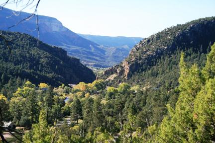
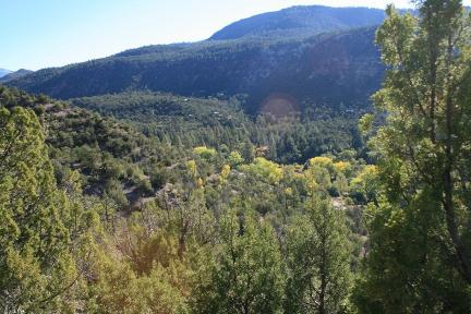
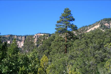
Upper right is a little look at the view of the tent rocks. Looking SW the large Ponderosa Pine is real close to the southern boundary line. Click on the following, following, (what else could I have said), and it will take you to plat and little more explanation of both Tracts 3A and 1-A-1. Upper right photo is looking down at the cottonwoods on the Jemez river. |
|
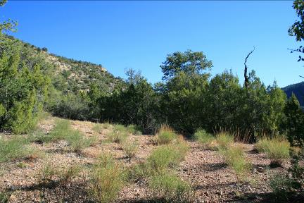
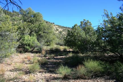
Upper left photo is looking at the main building spot for Tract 3A, there is a lot of flatness, (I am calling it flatness on purpose), all over this building spot. Upper right photo is more flatness. In other words, there are many great building spots. All the above photos were taken from a bench located close to the eastern boundary line. |